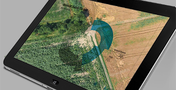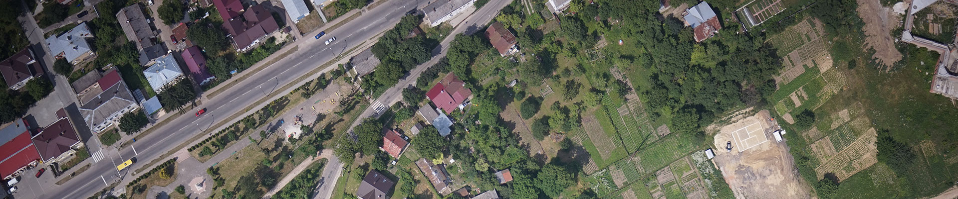
Aerial mapping

ABRIS Design Group has a solid experience in aerial mapping and land monitoring from both UAS and light piloted aircrafts.
Know-how and special equipment, designed in cooperation with the Institute of Geodesy of the Lviv Polytechnic National University, enable the efficient production of first-order accuracy orthophoto and digital elevation models.
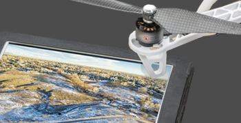
In the field of geodesy and cartography, the FLIRT UAV from ABRIS is simply indispensable, primarily because of its performance. For example, the productivity of an instrumental ground survey by an engineer-surveyor is on average 50-70 hectares per working day. While one FLIRT UAV provides a survey of an area of up to 1,500–1,800 hectares per flight (depending on the shooting specifications) for a period of 1.5–2 hours. The use of 2-frequency GNSS L1 / L2 instruments on board our aircraft allows geo-referencing of image centers already during the flight and does not require subsequent ground-based work. The software for flight mission planning is adapted for different types of tasks: areal shooting, shooting of broaching objects, shooting on the plain and in mountainous areas, taking into account the rounding of the terrain, shooting of several objects distant from each other with different parameters and technical specifications for one flight. At the same time, before the start, the weather conditions on the ground and in the air are taken into account, the optimal starting and landing points are selected, the landing methods are chosen in an airplane or by parachute, the parameters of batteries and cameras are indicated, in accordance with which the optimal mission is constructed.