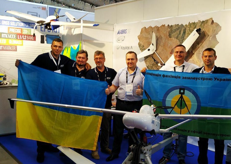
Aerophotography

ABRIS has a solid experience in aerial mapping and land monitoring from both UAS and light piloted aircrafts. Know-how and special equipment, designed in cooperation with the Institute of Geodesy of the Lviv Polytechnic National University, enable the efficient production of first-order accuracy orthophoto and digital elevation models