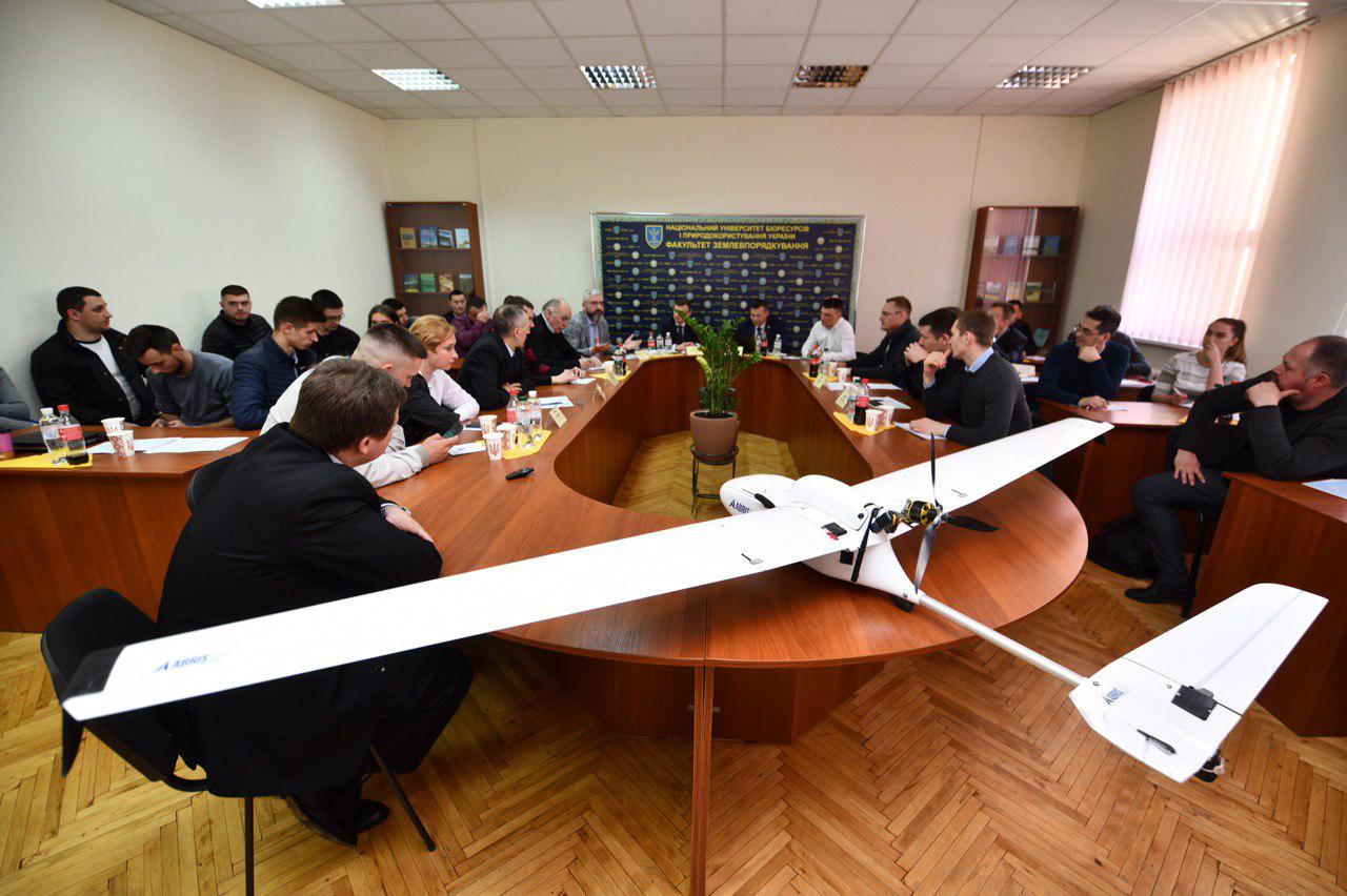
The Round Table “The Future of Aero Geodesy”

On April 4, 2019, ABRIS took part in the All-Ukrainian Round Table «The Future of Aero Geodesy: Problems of Using UAVs and Laser Scanning», organized by the Public Organization «Association of Land Management Specialists of Ukraine» together with the National University of Life and Environmental Sciences of Ukraine and the Association «Land Union of Ukraine».
About 50 participants has attended the event. They are representatives of public and private enterprises on geodesy and land management, educational institutions (National University “Lviv Polytechnic”, National Technical University of Ukraine “Kiev Polytechnic Institute”).
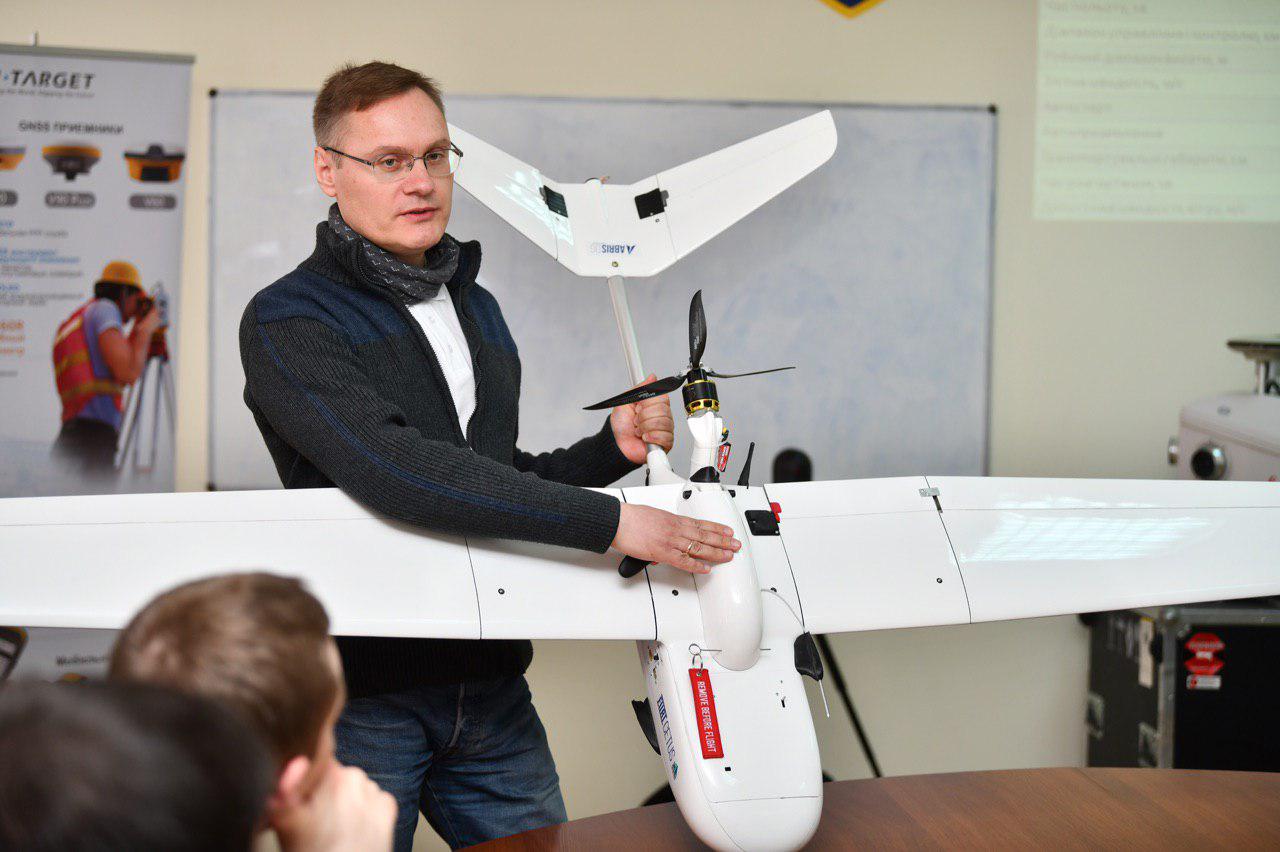
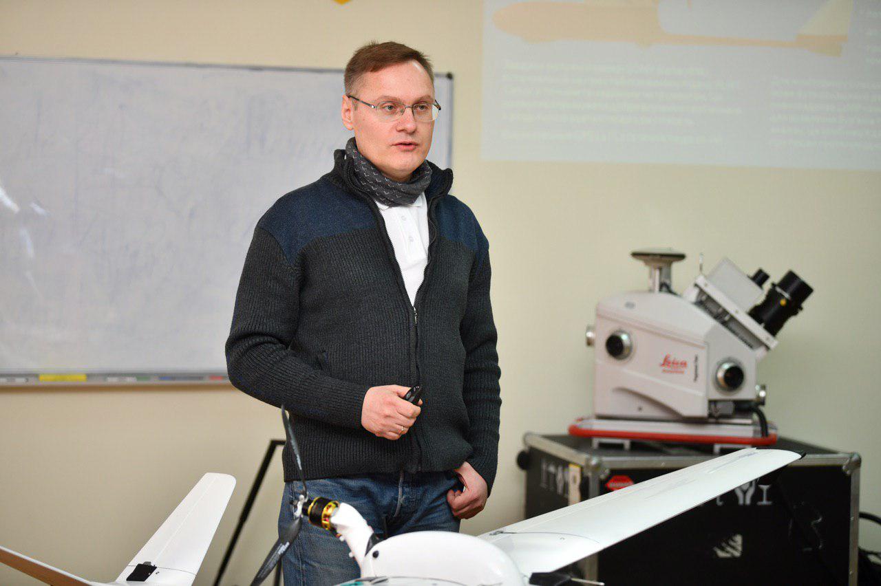
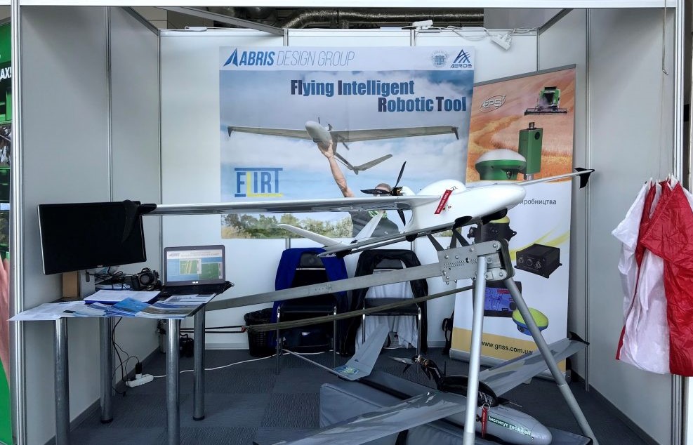
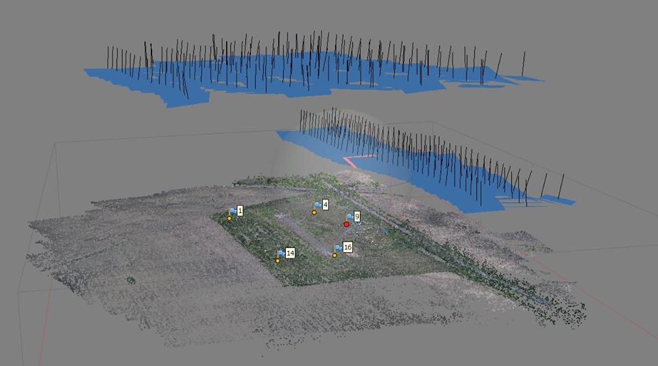
ABRIS presented at the round table its flagship product – the unmanned aerial vehicle FLIRT Cetus, which today is the most powerful and most productive tool for geodetic aerial photography in Ukraine and abroad.