FLIRT Arrow

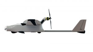
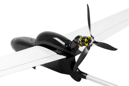
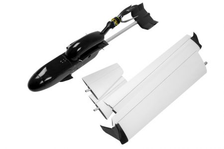
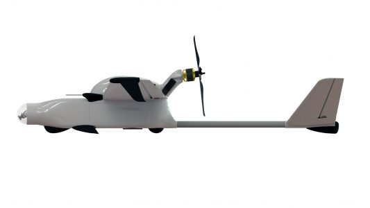
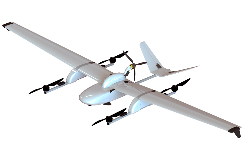
Arrow is a light-weight, hand-launchable model is specifically designed for aerial mapping, video surveillance and aerial reconnaissance.
Use cases
 security
 emergencies
 monitoring of piping & power lines
 agricultural & forest monitoring
 natural park monitoring
 aerial reconnai- ssance
 aerial mapping
Key advantages:
- Transporting, launch and controlling the mission itself can be easily carried out by a single person on foot
- Stable operation even at high altitudes
- Simultaneous video monitoring and aerial mapping with a high-resolution sensor during flight
- Remotely controlled stabilized camera in the nose to get online HD video up to 30 km ahead
- High-precision aerial orthophoto and DTM without additional field work due to precision GNSS L1/L2 PPK system onboard
- Covert aerial reconnaissance and surveillance from high altitude in zero radio emission mode in conditions of active interference and GPS signal suppression
Technical characteristics:
- total system weight 8 kg
- up to 150 minutes in flight
- launch from hand or catapult
- parachute landing
- GSD from 0.5 cm
- up to 150 km flight distance
- up to 30 km HD video link
- wind tolerance up to 10 m/s.
Payload applicable onboard:
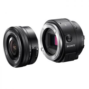
- 20,4 mp SONY UMC-R10c camera with changeable lens
- Parrot SEQUOIA multispectral camera
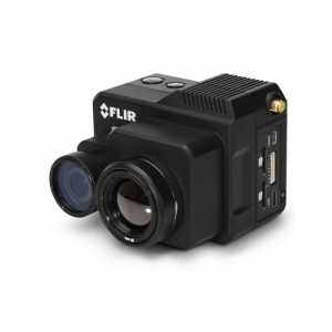
- FLIR VUE PRO/FLIR DUO PRO thermal sensor
- HD quality pan/tilt/zoom nose video camera
- NextVision thermal&optical PTZ camera
- L1/L2 PPK GNSS
