How our UAVs do their job

The State Agency for Hydrography successfully launched two FLIRT Cetus unmanned complexes with full-frame A7RII cameras and dual-frequncy GNSS EPSKit-7 receivers from EPS.
This is the beginning of a new innovative phase in the operation of unmanned aeronautical complexes, aimed primarily at improving the efficiency and effectiveness of performing direct tasks for the development, updating, publication and support of electronic and paper navigation charts and navigation guides.
Thus, the institution launched a new promising direction for the development and use of modern technologies in the field of navigation and hydrographic support of navigation, hydrography of inland waterways and providing a wide range of natural sciences with up-to-date and current data.
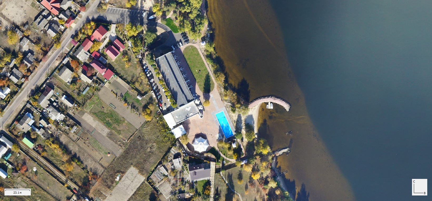
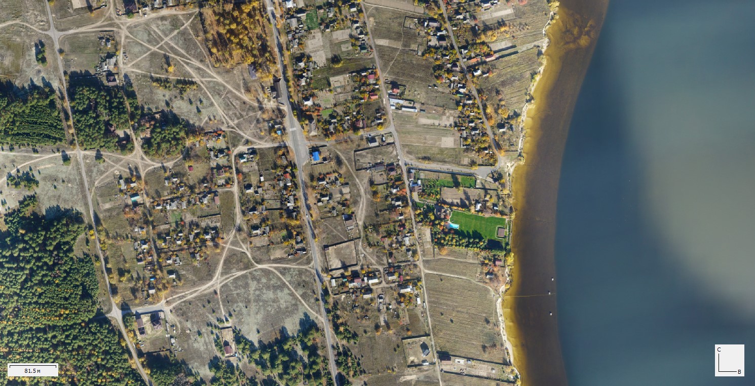
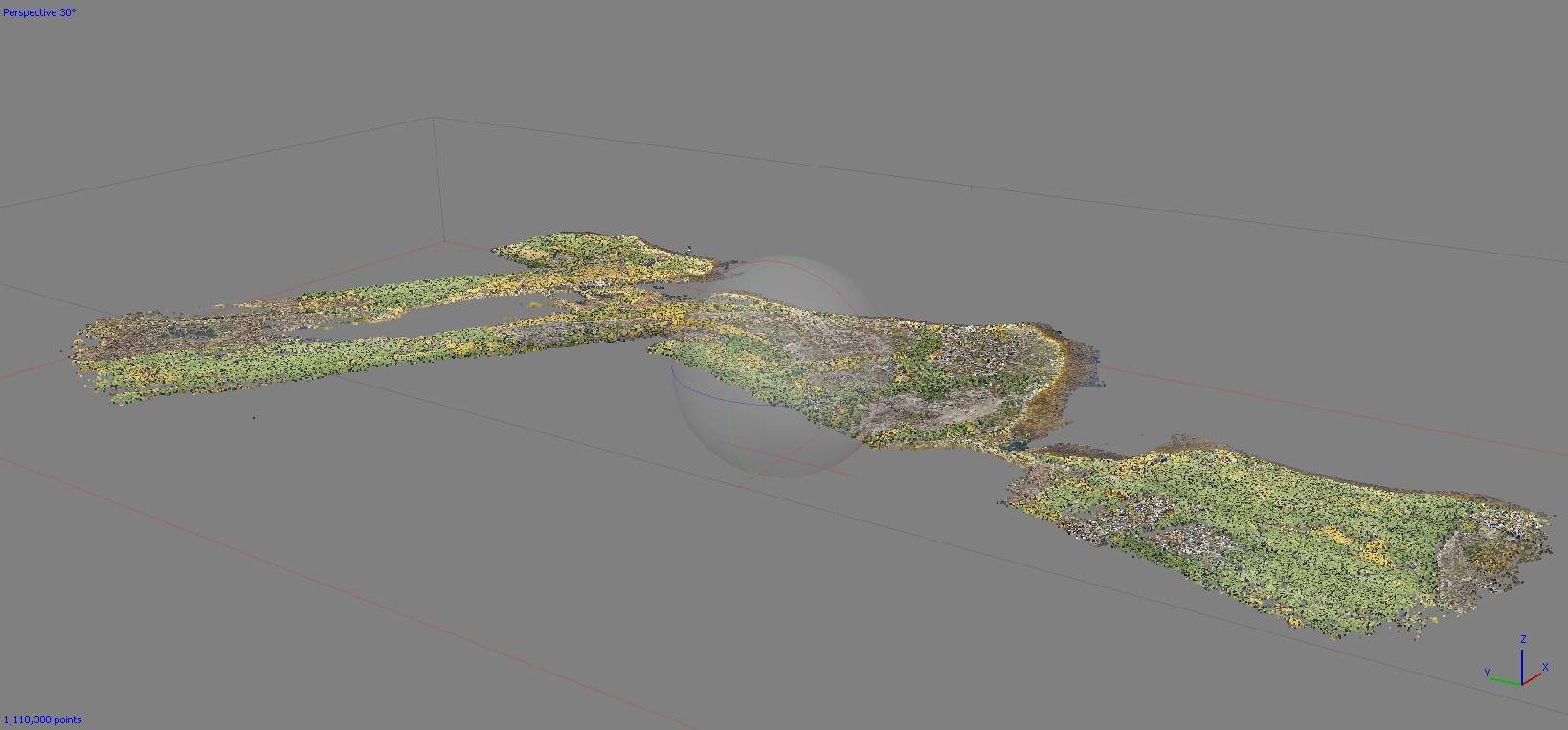
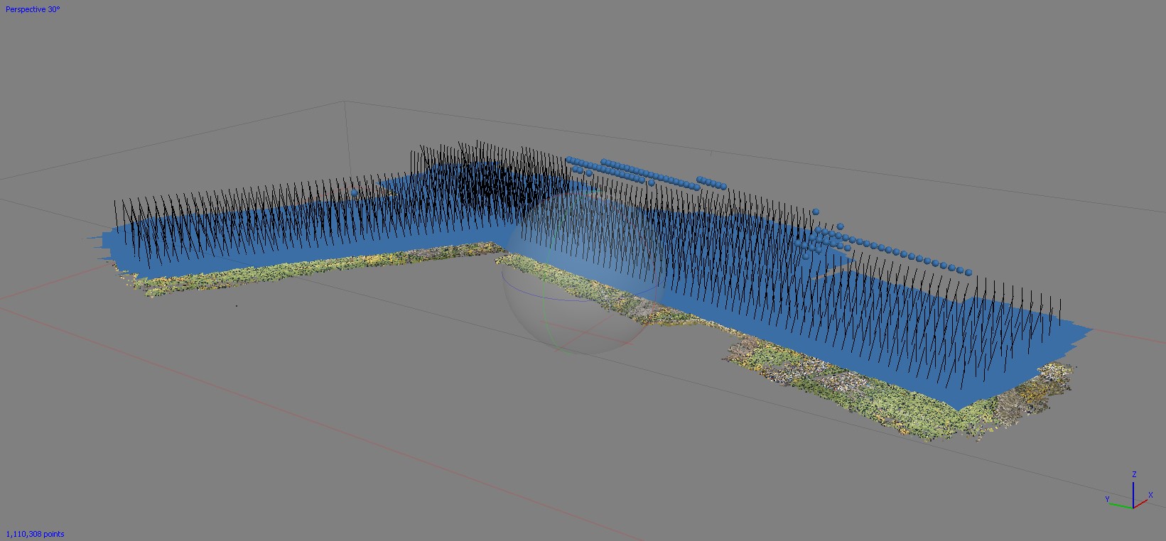
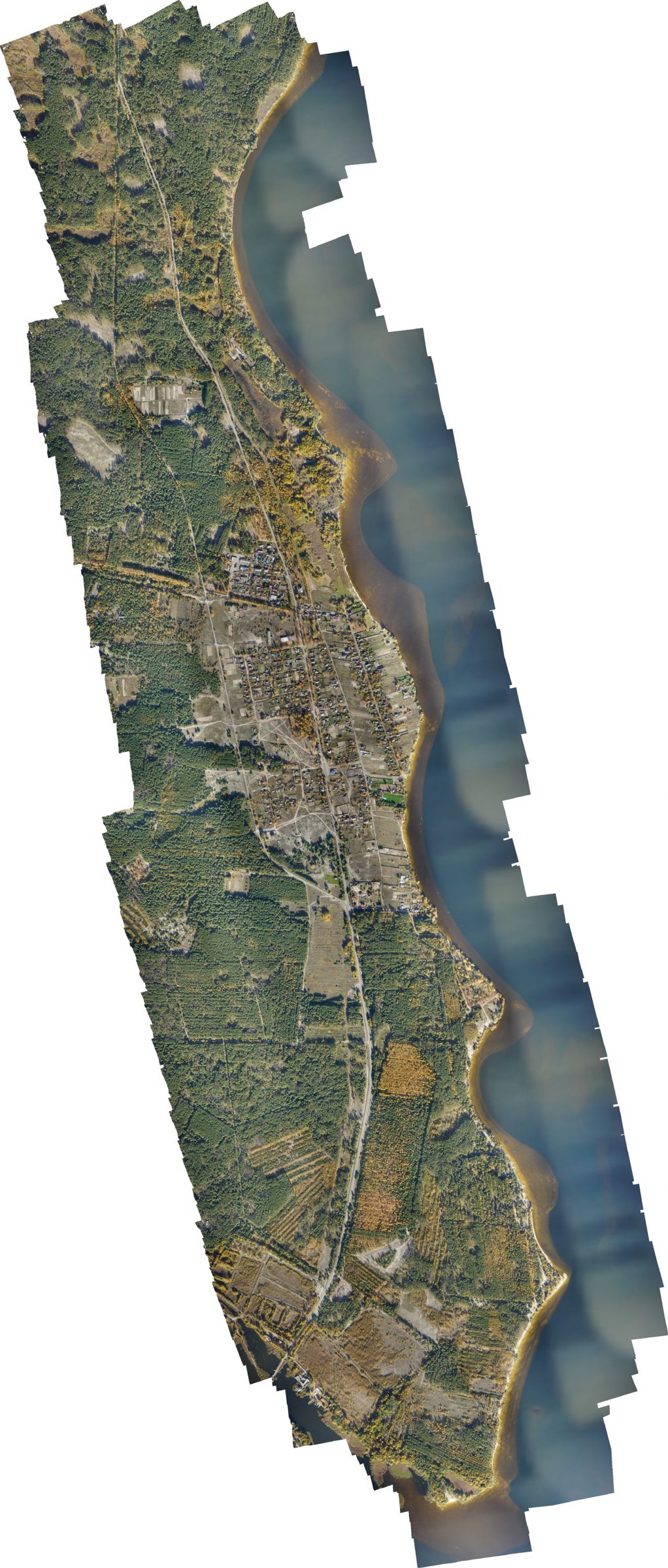
Currently, specialists of the institution have carried out work in the area of 905 – 920 km of the ship passage of the Kiev reservoir, with a total volume of about 44 km2 of the territory along the coastline.
The results will be used to improve the function of operational monitoring, analysis and mapping of coastline changes, specialized hydrological and hydroecological surveys, updating of mapping products with the help of the state technical and software tools of the State Hydrography.
Source: State Hydrography