Meeting on the geodetic support of aerial photography from the UAV

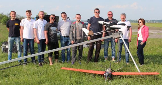
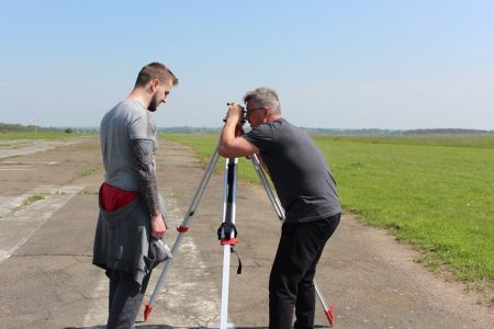
May 17 at the airfield “Byshev” with the participation of our colleagues and partners with E.P.S. and Kailas the scientific and practical meeting on the geodetic support of aerial photography from the UAV was held. During a busy day, the experts from Kyiv, Kharkiv, Vinnytsia and Khmelnytsky carried out the following experimental work:
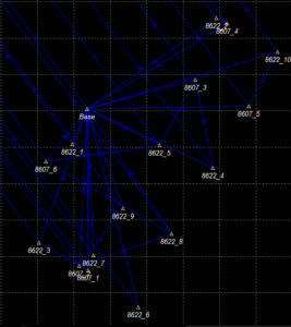
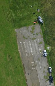
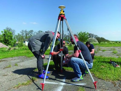
- a network of 17 reference and control points has been created with identifications within the airfield and the adjacent territory;
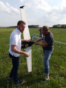
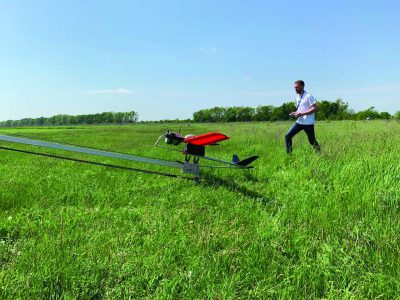
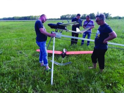
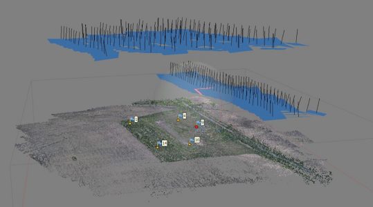
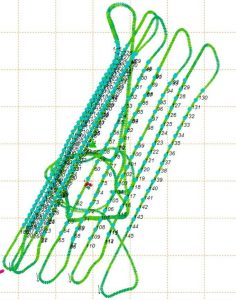
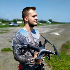
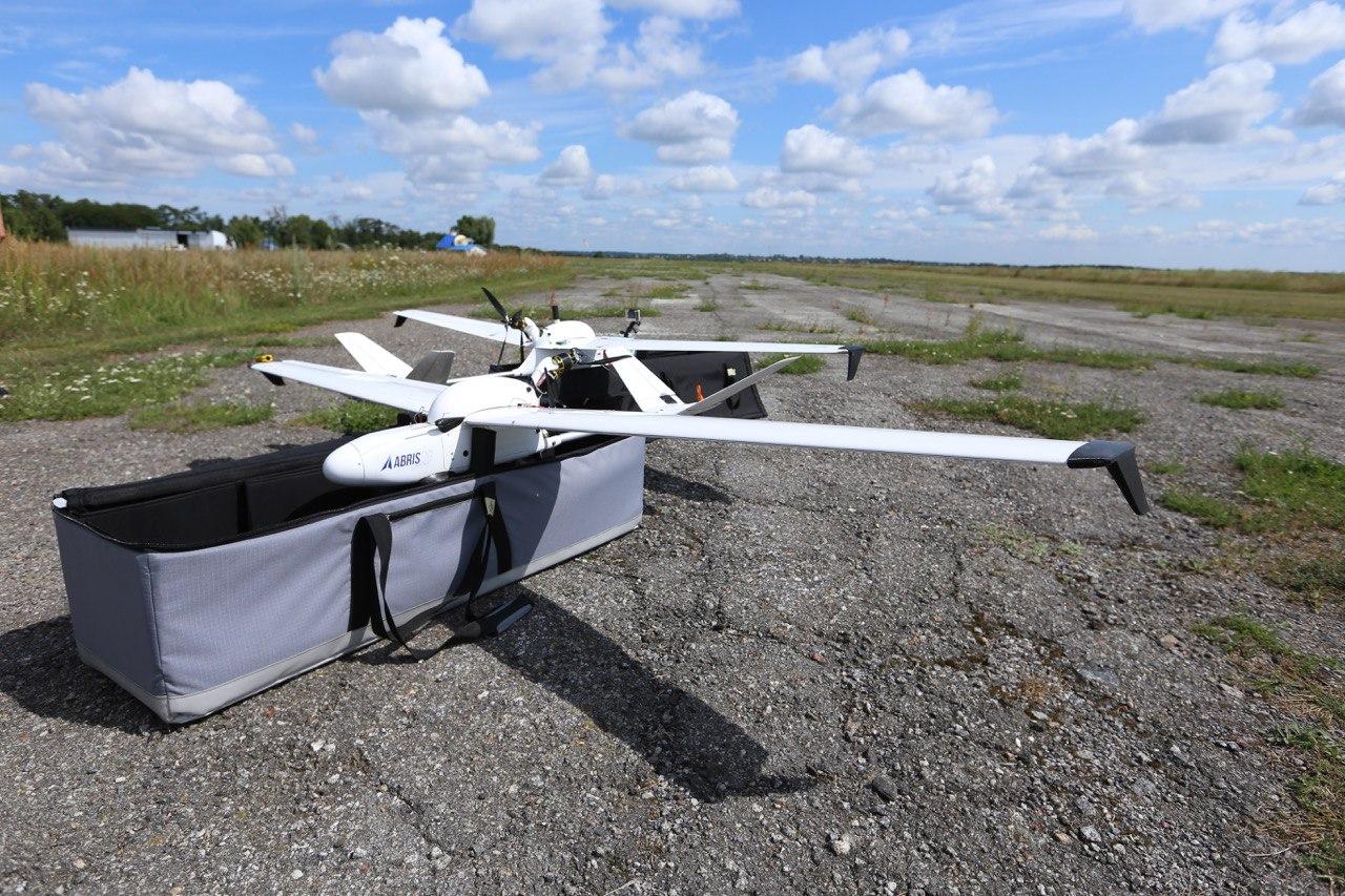
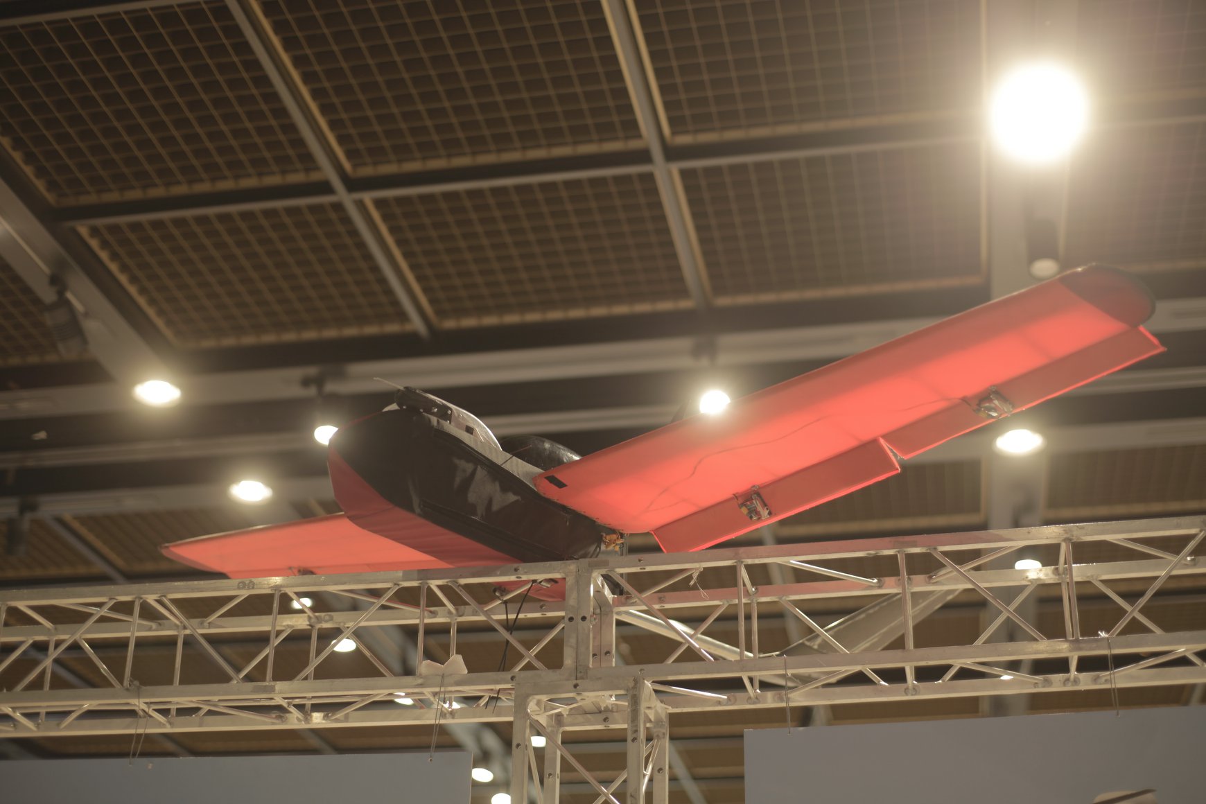
- in 10 flights, a polygon was shot from different heights from the FLIRT Arrow and FLIRT Сetus planes and the DJI Phantom copter with single-frequency and dual-frequency EPS Kit devices;
- polygon orthophotoplan was created and its accuracy was evaluated.
Studies have shown the high efficiency of the FLIRT and Phantom complexes with GNSS EPS systems and allowed to improve the method of their application. We sincerely thank our colleagues for organizing and participating in this work, and the owners of the airfield, Aeros company, for their hospitality.
