Monitoring agricultural lands

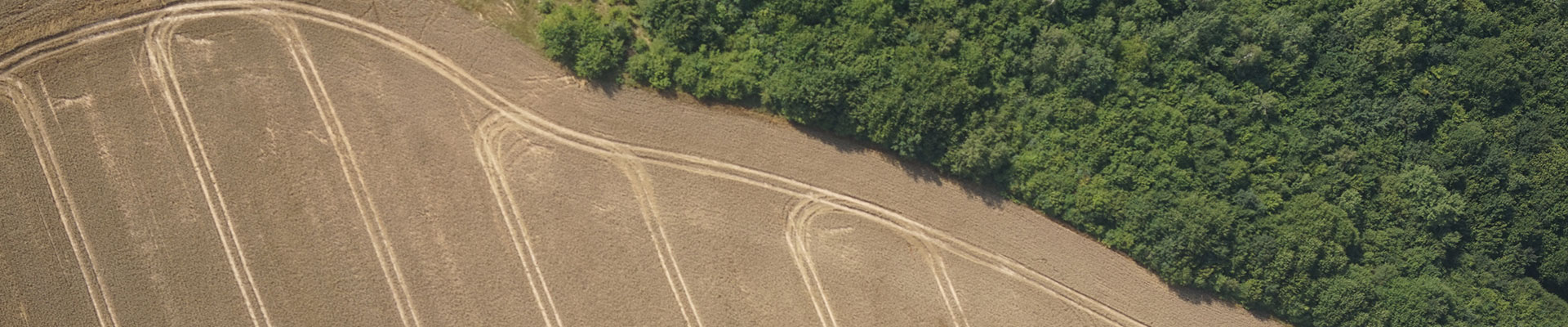
 Manned and unmanned aviation is widely used in monitoring of agricultural lands during the whole cycle of plant vegetation.
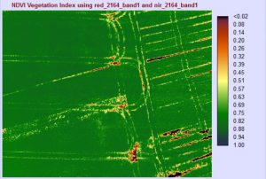
Aerial mapping is provided with a multispectral camera. A special navigation system and mapping technology ensure operational efficiency and high performance of works, as well as precise positioning of produced images.
Farmland multispectral images may be used by a customer for the following purposes:
- Providing precise or general assessment of crop condition;
- Analyzing crop seedling stages variation and a set of vegetation parameters; as for crops – estimating an above-ground biomass;
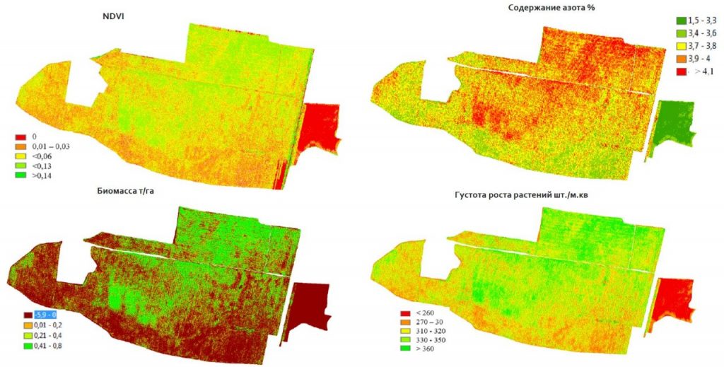
- Analyzing biomass growth dynamics, mapping crop development, identifying abnormal development;
- Estimating nitrogen content in plants and analyzing leaf areas;
- Specifying nitrogen application rates in supplementary fertilizers for each field;
- Drawing up a thematic map estimating harvest and crop maturation degrees;
- Assessing disaster