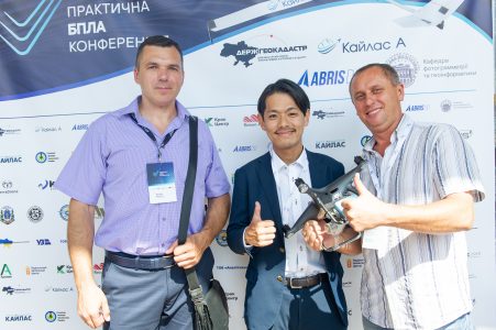
Practical UAV сonference

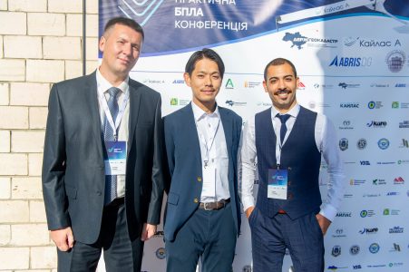
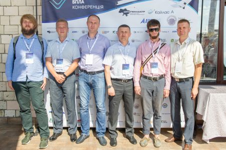
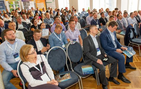
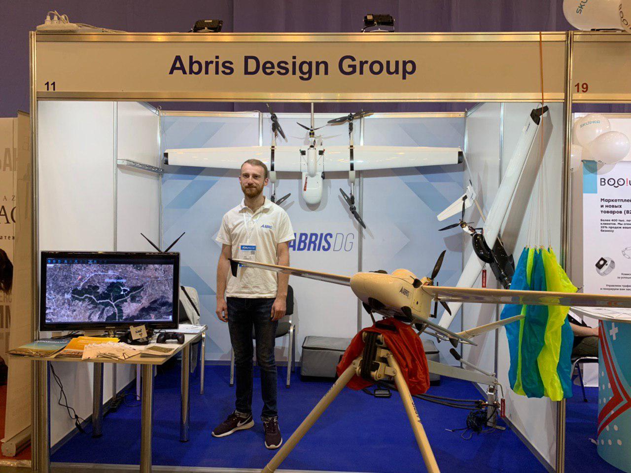
ABRIS DG co-organized a practical conference on the use of specialized UAVs for high-precision aerial photography (geodesy, cartography, Cadastre, GIS).
The conference was held on September 5, 2019, in Kiev
The main issues covered during the conference were:
• The need for quality aerial photography in various fields of activity.
• Requirements for modern UAVs for providing geodetic accuracy of aerial photography. Comparison of different types of UAVs.
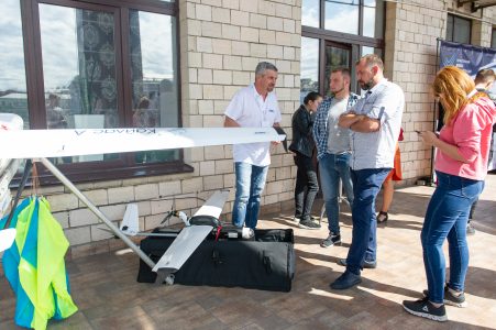
• Experience, achievements of the manufacturer and technical characteristics of domestic UAVs.
• Practical aspects of data processing and obtaining high-precision orthophotos.
• Practical use of specialized UAVs for the development of local self-government bodies: land inventory within settlements, town planning documentation, change of settlements boundaries. Practical experience.
• Financial results of accurate field measurements using UAVs.
• Aeronautical Land Inventory and certification of state property.
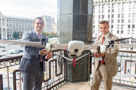
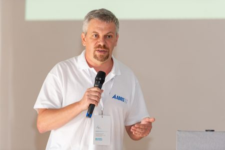
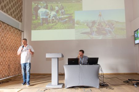
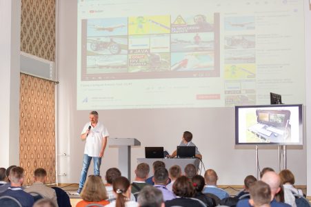
CTO of ABRIS DG Vadim Kolesnichenko presented at the conference the practical experience of UAV FLIRT users in aero-geodesic works and compared with the results of large manned aircraft.
