FLIRT Cetus

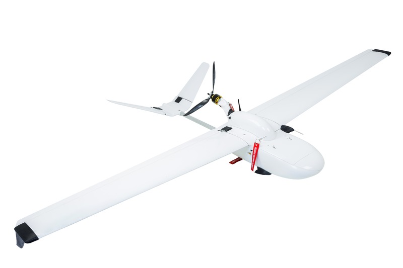
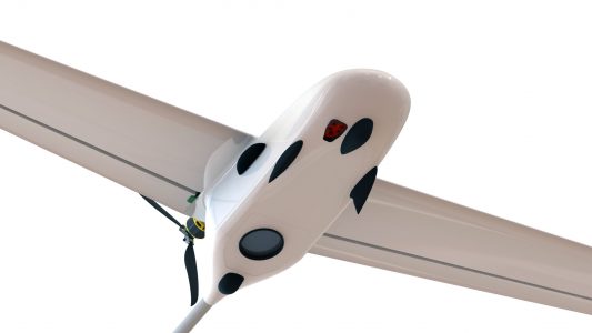
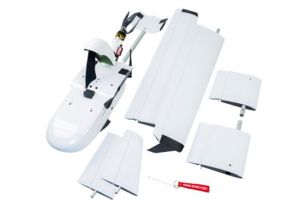
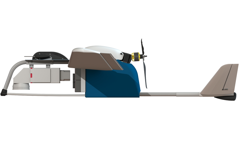
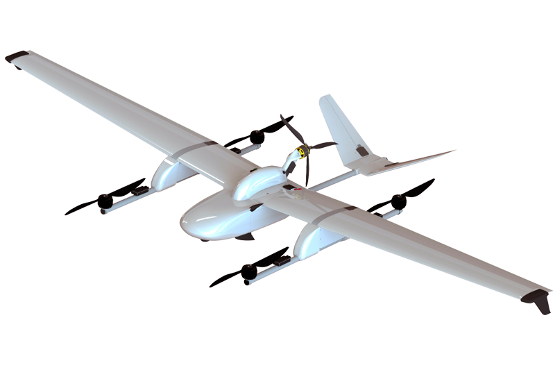
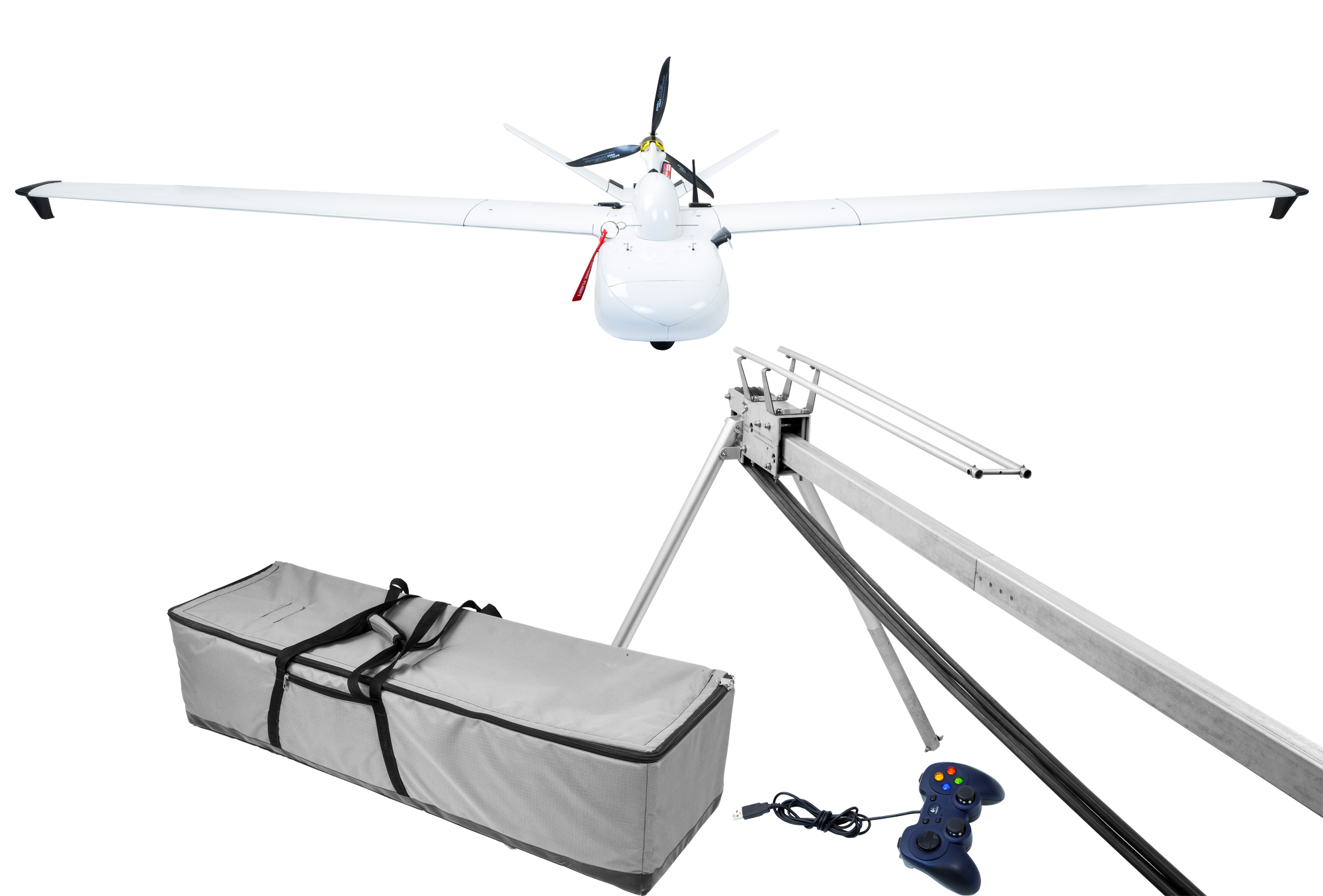
Cetus is a highly-specialized aircraft designed for high precision aerial mapping of vast areas. Stabilized camera with full-frame sensor combined with great flight duration allows you to capture extremely big territories in single flight.
Use cases
 aerial mapping
 agricultural & forest monitoring
 natural park monitoring
 monitoring of piping & power lines
Key advantages:
- High adaptability for different types of tasks thanks to interchangeable lens system
- Gyro stabilized gimbal allows well-aligned series of pictures
- Long distance flights even with strong wind conditions
- High-precision aerial orthophoto and DTM without additional field work due to precision GNSS L1/L2 PPK system onboard
- Simultaneous RGB and multispectral camera usage for agricultural monitoring.
Technical characteristics:
- total weight 9 kg
- up to 120 min in flight
- up to 120 km flight distance
- parachute landing + airbag protection system
- GSD from 1 cm
- up to 15 sq.km. with 5 cm GSD (60% side overlap)
- wind tolerance up to 37,2 km/h
- cruising speed 72-97 km/h
Payload applicable onboard:
- Full-frame up to 61 Mp RGB camera with interchangeable lens system
- Optional multispectral camera
- FLIR VUE PRO/FLIR DUO PRO thermal sensor
- L1/L2 PPK GNSS
