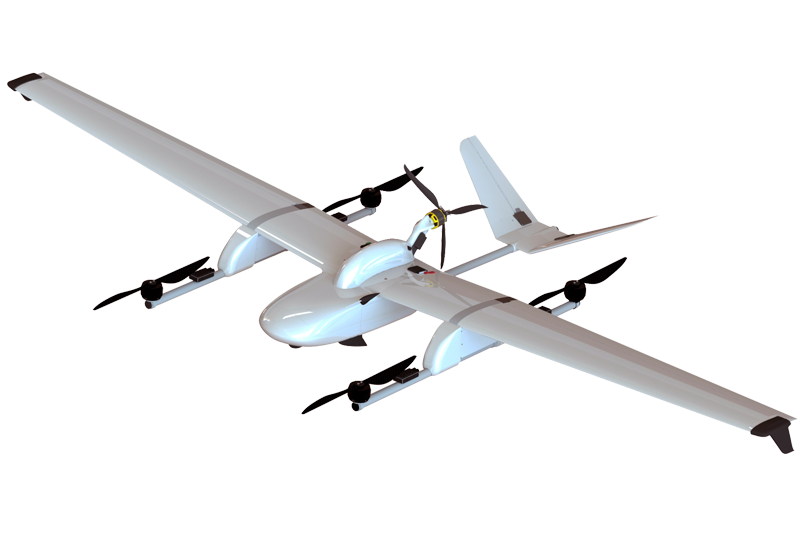
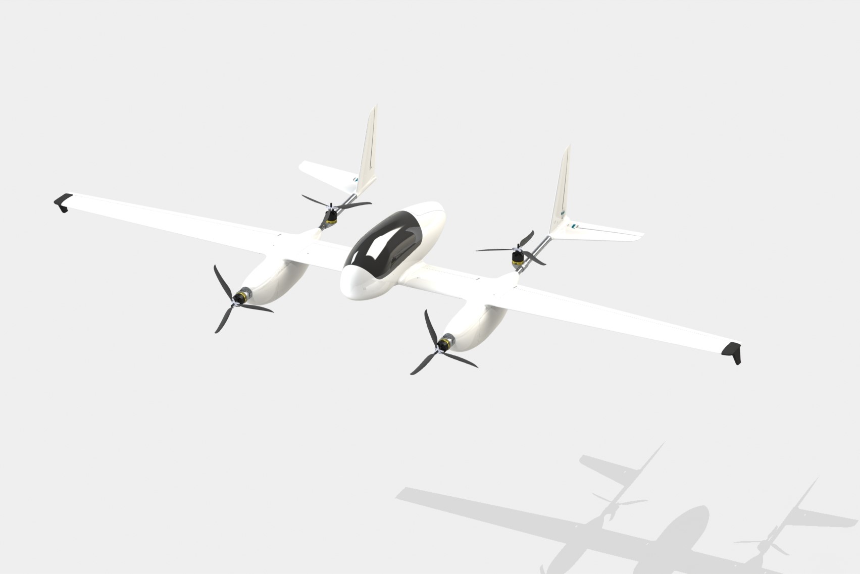
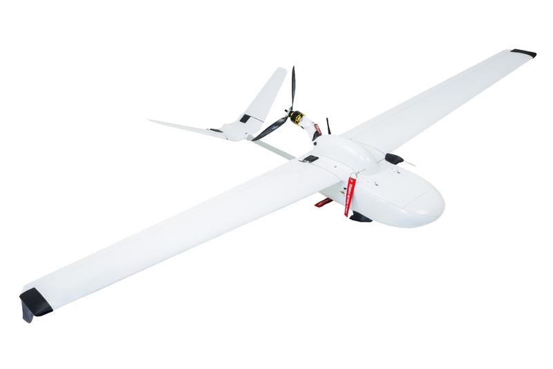
FLIRT UAV

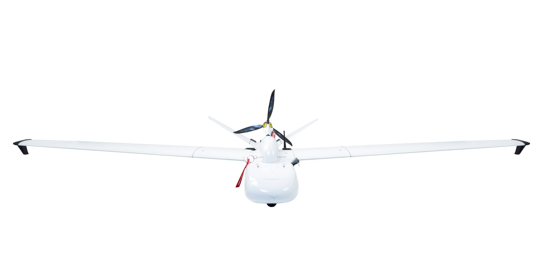

FLIRT (Flying Intelligence Robotic Tool) is our model range of powerful professional UAVs for aerial mapping, monitoring and other remote sensing applications.
Professional applications
 aerial mapping
 agricultural & forest monitoring
 natural park monitoring
 monitoring of piping & power lines
 aerial reconnai- ssance
 emergencies
 surveillance & security
FLIRT UAV solutions combine the advantages of unmanned flying systems with high standards of piloted specialized aircrafts. The defining feature of our UAVs (unlike many others) is its ability to get series of well-aligned images even in a strong crosswind.
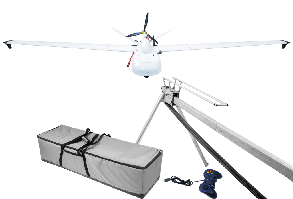
FLIRT features:
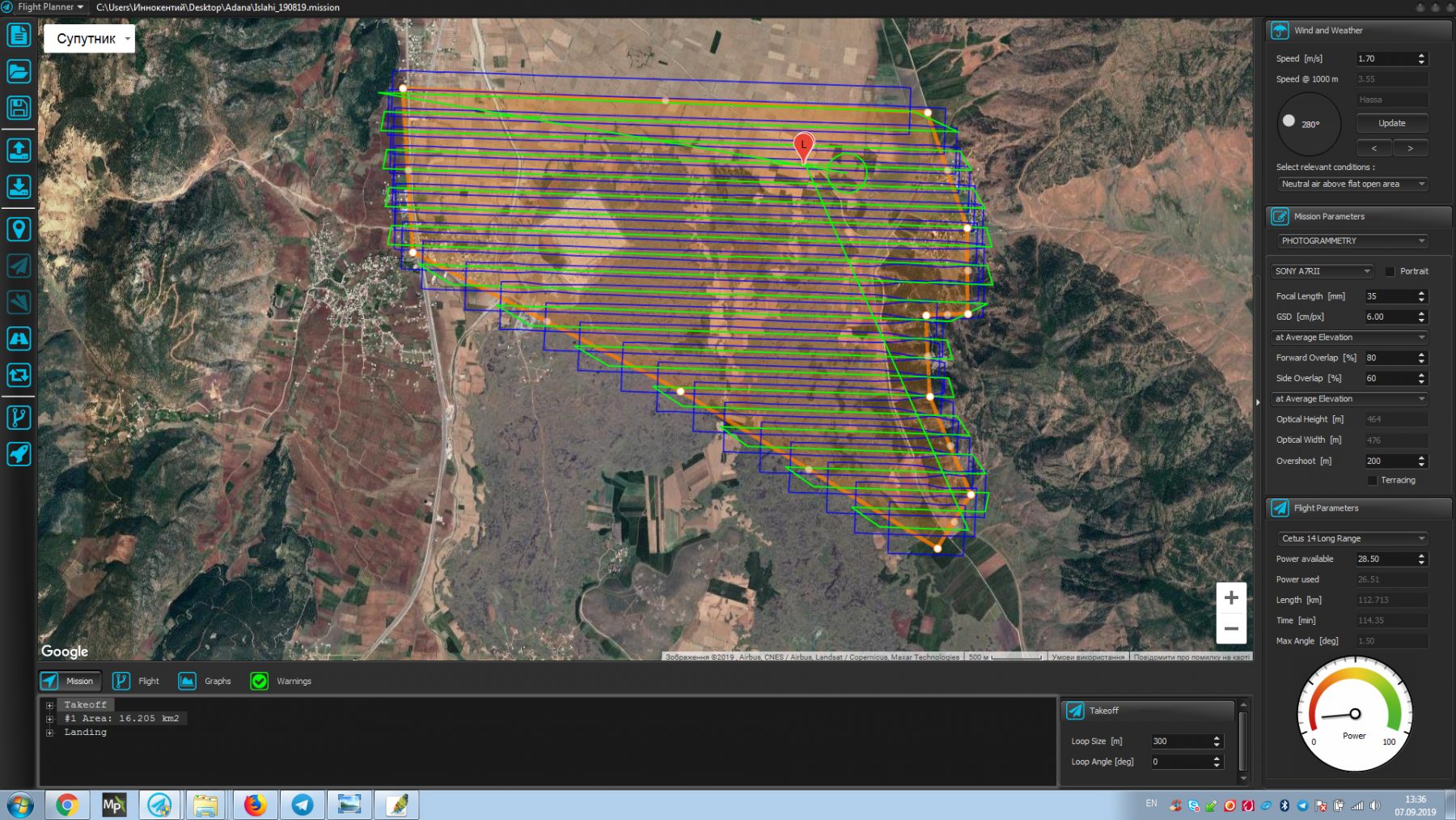
- own smart FlightPlanner for automatic mission creation
- fully automatic flight from takeoff to landing
- small size area for takeoff and landing
- exceptional stability in flight gives clearest photos and data
- wide range of altitudes and flight speeds
- long flight endurance
- distance mission control up to 40 km by radiolink
- easily changeable payload
- gyro stabilized camera gimbal
- durable hull composite construction additionally protected with the system of dampers
- doesn’t require any special tools and no electrical coupling involved at assembly process
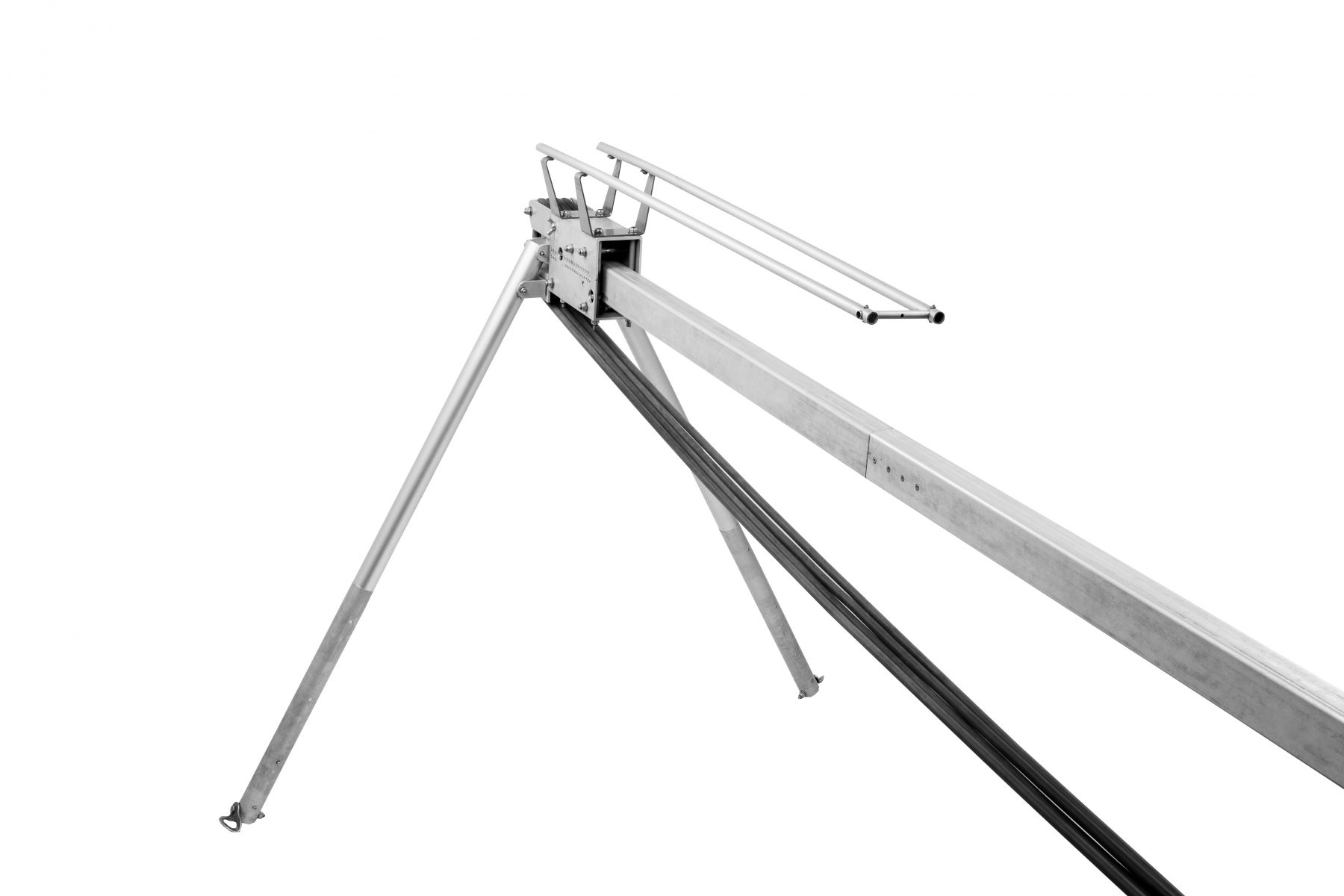
- automatic parachute landing system with emergency activation
- easily transported in specially designed light and convenient cases.