Practical GIS conference

On the 12th of December 2019, the third practical conference of geo-information systems was held.
The event discussed the current state and development of national inventories, the introduction and filling of geoinformation systems, platforms, portals in various fields and industries as tools for effective management of territory, resources and objects.
Particular attention was paid to information for filling the GIS, the features of preparation, collection, analysis of its relevance and systematization, which types of work allow to collect as quickly and as quickly as possible data about the territory.
The main blocks of the issues covered by the Conference:
- State of national inventories and upcoming tasks
- State regulation of national spatial data infrastructure.
- Creation and maintenance of national inventories and opportunities for their development.
- Current trends in GIS development.
- Land Inventory is the best source for gathering information.
- The role of GIS in the creation of urban cadastre on the ground.
- Aerial photography is the basic basis for accurate GIS visualization and monitoring.
- Presentation of GIS and their capabilities.
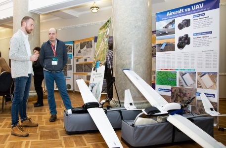
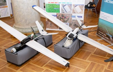
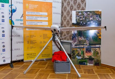
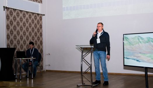
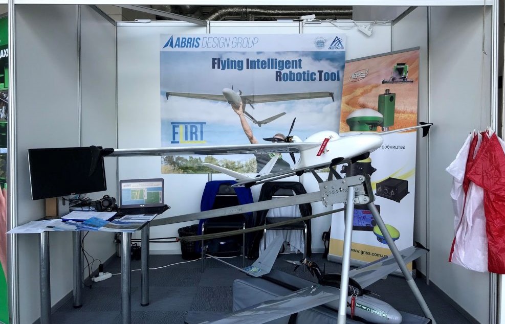
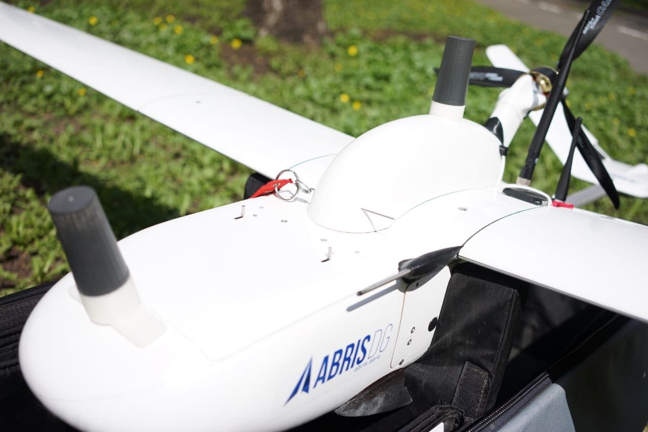
Business Development Director of ABRIS DG Olexandr Prohorchuk made a presentation about ABRIS UAV FLIRT as a reliable professional tool for collecting high-precision data that can be the basis for filling geo information systems.

